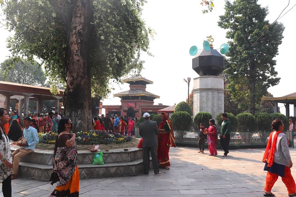
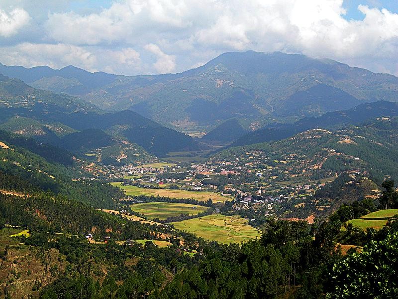
Sandhikharka is a valley surrounded by hills from all sides. It is the administrative headquarter of the Arghakhanchi district. Sandhikharka is situated between the two hills Argha and Khanchi, from which the district's name is derived. The city is located around 960m above sea level. The population of the district is 1,97,632, according to the 2011 census. The majority of people of these regions speak Nepali, Magar and Kumal as their first language. Arghakhanchi has Palpa in the east, Gulmi in the north, Kapilvastu District in the south and Pyuthan in the west as the neighboring districts.
There are three small rivers in this valley; Bangi, Ghoche and Bhadri, merge at Chutrabeshi, within Sandhikharka. Therefore, people sometimes call these rivers Tribeni. Due to these rivers and being a valley, the soil of Sandhikharka is fertile, filled with hummus. So, many of the people are engaged in agriculture while some are government officers and businessmen. During summer, the maximum temperature reaches about 37°C which can be significantly warm for some visitors and in the winter season the temperature is usually between 1-10°C.
Major rivers are Bangi khola, Bangsari Khola, Mathurabesi Khola, Banganga Khola, Durga khola, Sita khola. Fishing is quite popular in this region.
Major Lakes; Thada Lake and Sengleng Lake.
Explore the nearby villages like Lamchi, Balkot, Dharapani, Narpani Bajar.
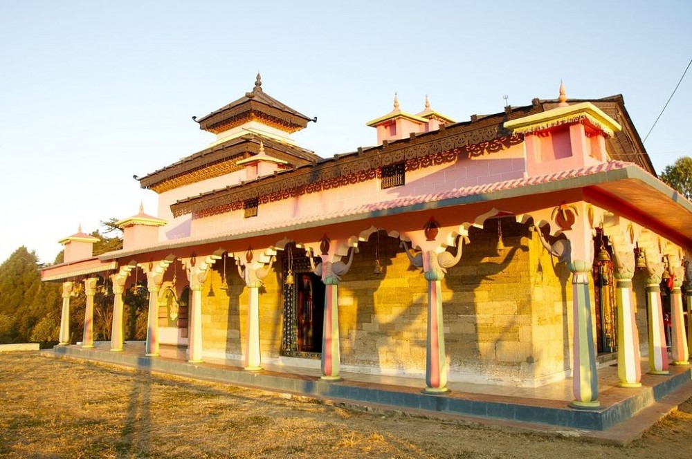
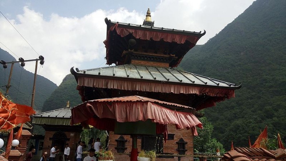
Religious places like Supa Deurali, Argha Mandir, Chhatraganj Temple.
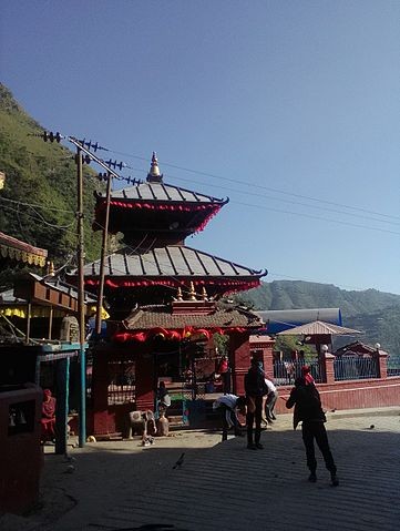
Magnificent view from the hilltop of Argha and Khanchi of Sandhikharka.
Explore the wildlife of the region.
Community Homestay; Experience the warm hospitality of the Sano Gaun people.
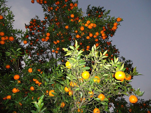
Orange Farm.
Kalash Yatra.
Siwalik Hills.
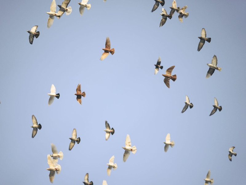
Bird Watching.
Panini Tapobhumi.
Arghakhanchi provides a magnificent view of the Himalayan panoramic view to the north. It includes Mt. Machhapuchhre, Mt. Annapurna, Mt. Dhaulagiri and many other mountain ranges and also wide plains of Terai.
Sandhikharka is connected with Siddhartha Highway with the rest of the country. It is 380km from Kathmandu and can take anywhere from 11-12 hours to reach Sandhikharka. Regular buses and micro-buses depart from different parts of the country to Sandhikharka. The district doesn't have an airport. However, if you are in a time crunch, then the closest airport is Bhairahawa Airport. Sandhikharka is 127km from the airport. Yeti Airlines, Nepal Airlines, Buddha Air have been providing their service to Bhairahawa from Kathmandu and other parts of the country.
ALSO READ: