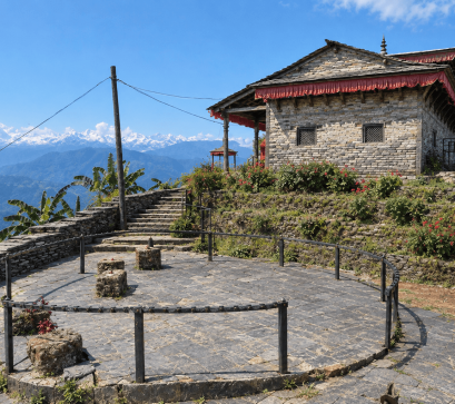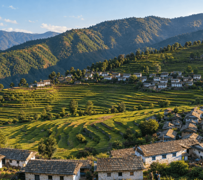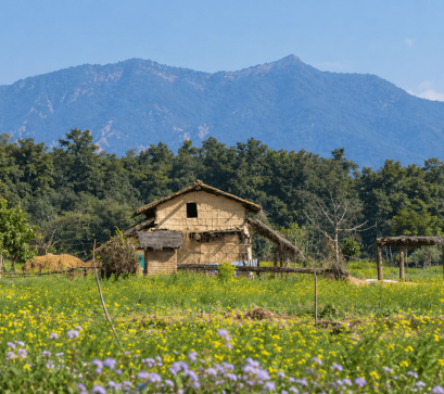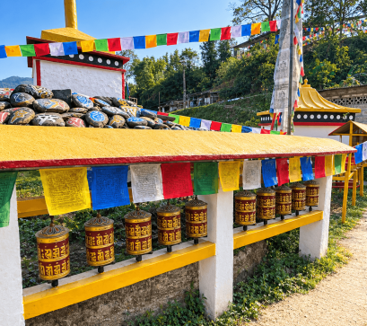
The first thing that goes quiet in Humla isn't the landscape. It's the sales pitch.
Anywhere else in Nepal, a week of travel comes wrapped in a low, constant hum of transaction: a guesthouse tout at the airport, a trekking agency's laminated menu of "packages," a shopkeeper angling a conversation toward a Pashmina scarf you didn't ask about. None of that exists in Simikot. Not because the district has rejected commerce, but because it has never had the volume of visitors required to build an industry around them.
Humla is Nepal's second-largest district by area and one of its least populated, and for decades it has been reachable only by a short, weather-dependent flight from Nepalgunj or Surkhet. That isolation, more than any deliberate policy, is what has kept Simikot free of the machinery that turns a place into a product.
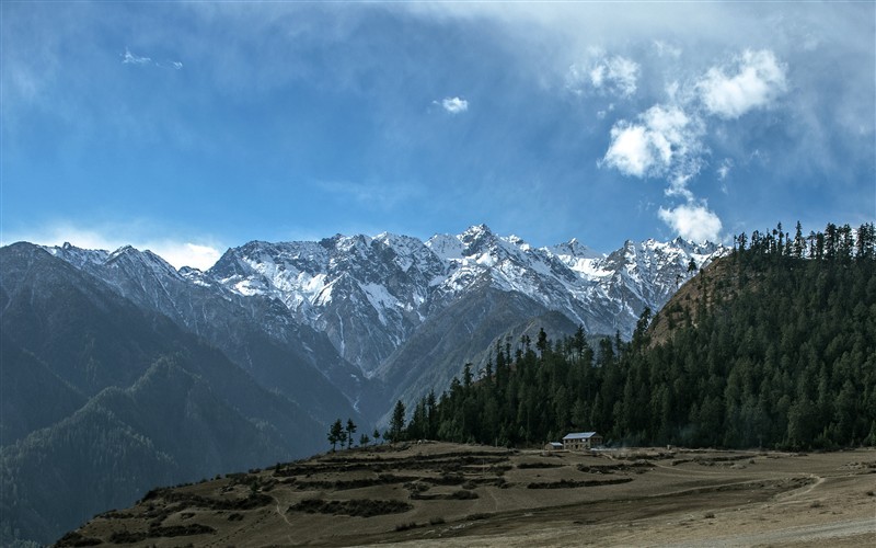
Humla holds a strange distinction: it was the last of Nepal's 77 districts to be connected to the national road network, a milestone reached only in July 2025 with the completion of a bailey bridge over the Chuwa Khola River, part of the long-delayed Karnali Corridor linking Hilsa on the Tibet border down through Simikot to the rest of the country. Even now, that connection is a rough, seasonal track, not a paved highway; locals describe it as usable for cargo trucks more reliably than for passenger travel, and much of it still awaits blacktopping. For most travelers, the practical way in remains what it has always been: a roughly 45-minute flight from Nepalgunj, weather permitting, landing on a short airstrip cut into a ridge above the Humla Karnali River.
That single fact does more to explain Humla's character than anything else. A place that is hard to reach cannot easily be optimized for visitors. There's no critical mass of arrivals to justify a souvenir economy, no billboard-worthy foot traffic, no incentive for anyone to build a experience around extracting money from people passing through. What's left is just the district as it actually is.
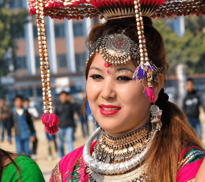
Humla's roughly 5,655 square kilometers hold a population that has hovered around 50,000 for the last two censuses – sparse enough that entire valleys pass without seeing another traveler. The district splits culturally along a rough north-south line: the higher settlements near the Tibetan border are largely Buddhist, closer in dialect, dress, and religious practice to Tibet than to Kathmandu, while the lower Humla Karnali valley leans Hindu. Simikot itself, the district headquarters at around 2,900 meters, sits at the hinge between the two.
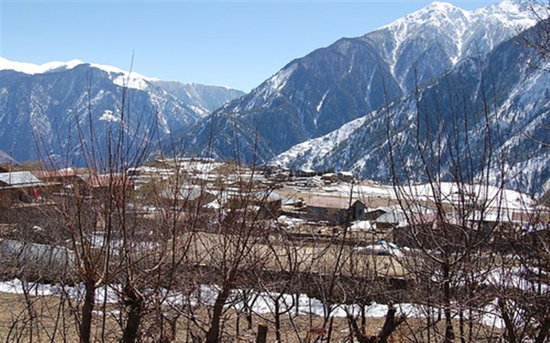
From there, the old salt-trading and pilgrimage route continues north through Muchu, Halji, and Til toward Limi Valley and the Hilsa border crossing – the overland gateway used by pilgrims heading to Mount Kailash and Lake Manasarovar in Tibet. This route matters more than it used to: after the 2015 earthquake damaged the traditional Kailash pilgrimage road further east through Sindhupalchok, a meaningful share of that pilgrim traffic shifted west through Humla and Hilsa. Even so, the numbers stayed small relative to Nepal's marquee trekking routes. Annapurna sees tens of thousands of trekkers a season. Humla sees a comparative trickle.
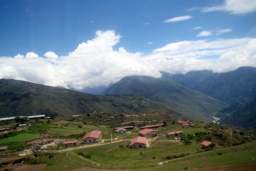
It's worth being precise about what "nothing trying to sell you anything" means here, because it isn't emptiness. Villages along the route to Limi Valley are lived-in and busy – mule trains still carry goods along the Karnali gorge the way they always have, monasteries like Rinchenling Gompa in Halji function as active religious sites rather than ticketed attractions, and locals go about herding, farming, and trading much as they would whether or not a traveler happened to be walking through. What's missing is the performance layer that tourism usually adds on top of a place: no one is arranging the view for you, translating the moment into something more marketable, or nudging you toward a "authentic experience" priced per person.
Meals come from what's actually cooked in the kitchen that day, not a menu built to reassure foreign palates. Lodging is basic and transactional in the plainest sense – a bed, a fire, a fair price – without the layered upselling that's become standard in busier trekking regions.
Guides exist, and are necessary given the terrain and the high passes (Nara La at roughly 4,620 meters, Nyalu La near 4,940 meters, if the route continues into Limi), but the relationship feels more like hired local knowledge than a package being pitched.
The season matters: spring (March–May) and autumn (September–November) offer the clearest weather for the Nepalgunj–Simikot flight and for any onward trekking. Monsoon and deep winter bring both flight cancellations and difficult trail conditions. Permits are required for the Limi Valley/Upper Humla area given its proximity to the Tibet border, and given the remoteness, travel insurance with helicopter evacuation coverage is not a formality – it's close to essential. Bring cash; there is no reliable digital payment infrastructure once you're past Simikot's few shops, and that, too, is part of what keeps the transactions here small, direct, and refreshingly free of a sales pitch.