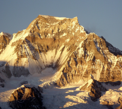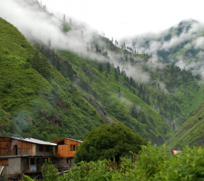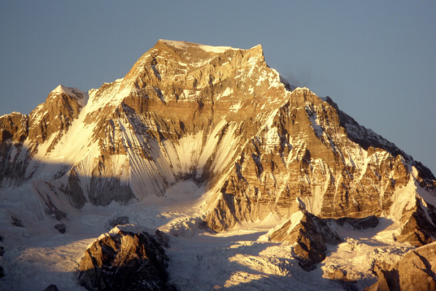
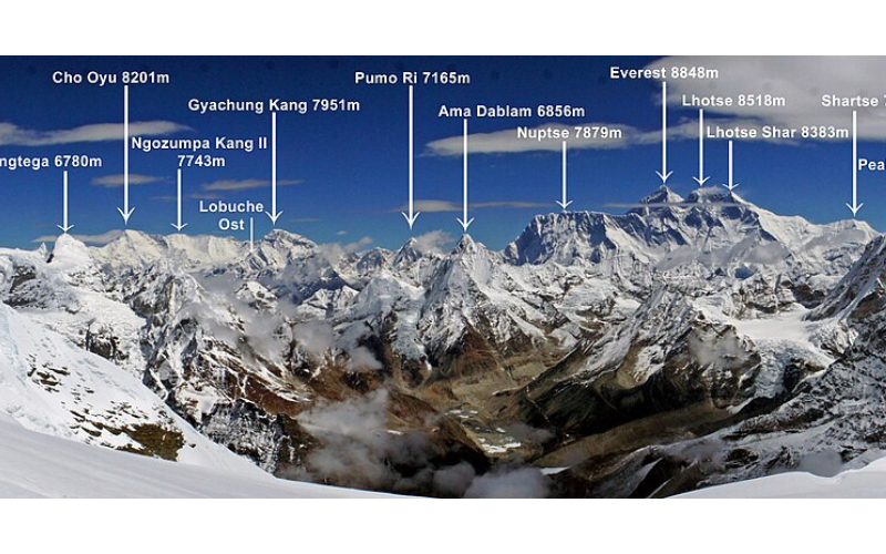
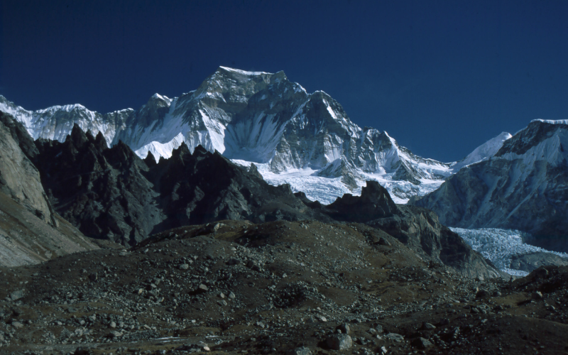
At 7,952 metres, Mount Gyachung Kang occupies a rare position in Himalayan geography; the highest peak below 8,000 metres, yet it remains strikingly underrepresented in mainstream tourism narratives. Located between Mount Everest and Cho Oyu within the Mahalangur Himal, it straddles the Nepal-China border and forms part of the extended Khumbu high-altitude system.
Historical Context and First Ascent
Gyachung Kang’s mountaineering history is concise but significant. The first successful ascent took place on 10 April 1964, achieved by a Japanese expedition comprising:
This ascent came during a formative period in Himalayan exploration, when attention had begun shifting from first ascents of 8,000-metre peaks to technically demanding sub-8000 giants. Unlike Everest or Annapurna, Gyachung Kang did not evolve into a commercial climbing destination, largely due to:
As a result, it remains lightly climbed, preserving its expedition-grade reputation.
Royalty Fees and Permit Structure (Nepal Himal Peak Profile)
Climbing Gyachung Kang requires a permit issued by the Department of Tourism Nepal. The royalty fee structure reflects Nepal’s seasonal expedition framework:
For Foreign Climbers (USD)
For Nepali Climbers (NPR)
These fees are comparatively modest when measured against 8,000-metre peaks, reinforcing Gyachung Kang’s positioning as a specialist expedition peak rather than a commercial climb.
Access and Expedition Logistics
Approach from Kathmandu
Expeditions begin in Kathmandu, followed by a flight to Lukla Airport: the primary gateway to the Khumbu.
Caravan (Trekking) Route
The standard approach follows a well-established trekking corridor:
Lukla - Namche Bazaar - Khumjung - Gokyo - Base Camp
Climbing Route
Duration
Total expedition duration: 56 days
Includes acclimatisation, load ferrying, route fixing, and summit push
This extended timeframe underscores the mountain’s classification within full-scale Himalayan expeditions, rather than short alpine-style climbs.
Tourism Relevance: A Niche High-Altitude Offering
1. Integration with the Gokyo Circuit
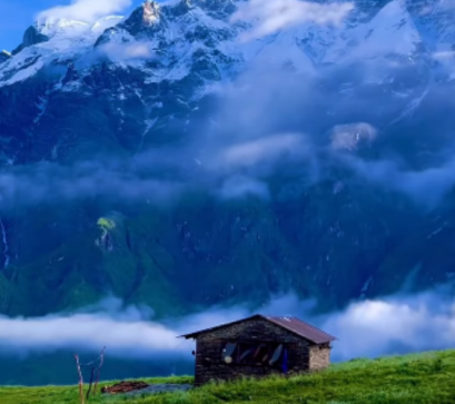
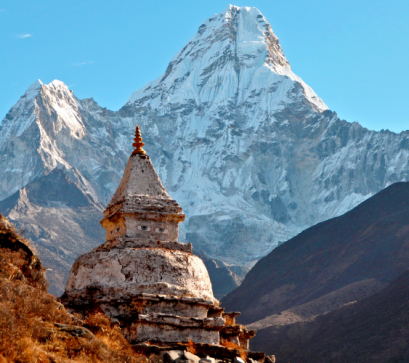
Although few attempt its summit, Gyachung Kang contributes significantly to the visual and experiential landscape of the Gokyo region. Trekkers encounter its massif from:
This positions the mountain as a scenic anchor within one of Nepal’s most rewarding alternative trekking routes.
2. Controlled Tourism Through Natural Barriers
Unlike Everest, Gyachung Kang’s:
act as natural filters, attracting only experienced climbers and serious expedition teams. This aligns with Nepal’s emerging emphasis on quality over quantity in mountain tourism.
3. Economic Contribution Without Overcrowding
Despite low footfall, expeditions generate revenue through:
This model demonstrates how low-density, high-value tourism can support local economies sustainably.
Environmental and Operational Considerations
Gyachung Kang lies within the broader ecosystem of Sagarmatha National Park, requiring adherence to conservation protocols. Key considerations include:
Additionally, its position on an international border introduces logistical coordination complexities, particularly for routes approaching from the Tibetan side.
Mount Gyachung Kang occupies a distinct niche in Nepal’s mountain tourism landscape: technically demanding, logistically intensive, and deliberately uncrowded. Its verified history, structured permit system, and clearly defined access routes position it as a model for regulated expedition tourism.
PC: Wikimedia Commons
Also Read