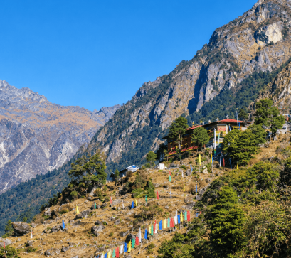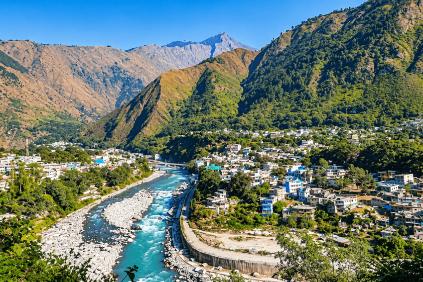
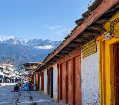
Khalanga Bazar is the administrative headquarters of Darchula District in Sudurpashchim Province, tucked into Nepal's far-western corner. Set on the bank of the Mahakali River at roughly 901 meters, it is surrounded by steep Himalayan terrain and serves as the district's center for trade, governance, and transit. Today it forms the core of Mahakali Municipality.
The Mahakali (Kali) River forms the border between Nepal and India, and directly across it lies the Indian town of Dharchula in Uttarakhand. The two towns share similar names, as well as strong cultural, linguistic, and commercial ties.
A suspension bridge links them, and residents cross daily for work, family visits, and shopping. Nepali and Indian nationals can cross without major restrictions, though the border closes at night for security reasons and travelers pass through customs checkpoints on both sides.
Khalanga is the district's commercial and administrative heart, with government offices, banks, a hospital, schools, shops, and hotels. It supplies goods and services to surrounding rural villages and has long served as a frontier depot for trade between the hills of far-western Nepal, India, and the high Himalayan corridors toward Tibet.
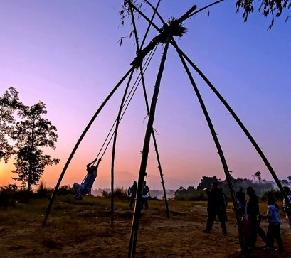
Darchula District covers about 2,782 square kilometers and had a population of 133,274 in 2011. It lies in Nepal's northwest corner, bordered by Bajhang and Baitadi districts, India's Pithoragarh district, and China's Ngari Prefecture in Tibet. Local culture blends Khas-Doteli traditions with the heritage of communities such as the Sauka (Rung) and the Byansi. The district is also known for its traditional Thapla system, which reflects local customs, social organization, and ancestral knowledge.
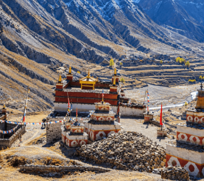
For travelers, Khalanga is the starting and finishing point for expeditions into the Api Nampa Conservation Area, which ranges from 532 to 7,132 meters. The area is home to Api Himal (7,132 m) and Jethi Bahurani (6,850 m), and is fed by rivers including the Mahakali, Chalune, Tinkar, Nampa, and Kalagad. Khalanga is also the gateway to the Byans (Vyas) valley and to treks toward the villages of Tinkar and Chhangru near the Tibetan border. The Tinkar Pass connects to Taklakot (Burang) in Tibet and marks the start of the China-Nepal border.
Darchula was once part of Kumaon under the Katyuri dynasty. After the kingdom fragmented, the region came under the Doti Kingdom, and the Gorkha Empire annexed Doti in 1790. It later fell under Baitadi District, then Mahakali District. In 1962, Chamba was upgraded and renamed Darchula District, with Khalanga as its headquarters.
The Treaty of Sugauli (1816) established the Kali River as the border between British territory and Nepal, splitting the historic Byans region between two countries. The Byansi people, who speak a West Himalayish language, still maintain close ties across the border. Traditionally, five headmen, or mukhiyas, represented Byansi villages on both sides, and land in either country was registered in their names.
The name Darchula comes from "Dar" (peak) and "Chula" (fire stove), meaning a stove of three stones. Legend says the sage Vyasa cooked here on a stove of three peaks, and nearby mountains resemble that shape. The Byans region's name is also linked to Vyasa.
The district's climate varies from subtropical in the southern valleys to alpine in the snowbound north, with temperate conditions in the mid-hills. Average temperatures range from about 7.7 °C to 18.6 °C. Annual rainfall averages about 2,129 mm, with roughly 80 percent falling during the monsoon from June to September.
.png)