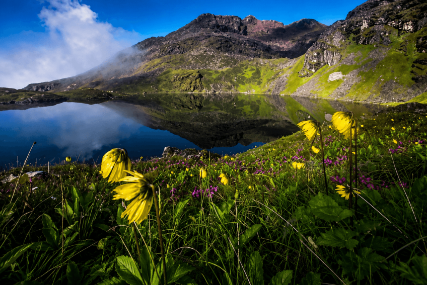
Most trekkers bound for Annapurna or Manaslu drive past Lamjung. This recently mapped route through the Dordi Rural Municipality corrects that: 8 to 10 days from Kathmandu and back, climbing from terraced farmland to a sacred lake at roughly 4,350 to 4,456 metres, wedged between two of Nepal's biggest-name conservation areas without falling inside either.
The trail leaves Khinchok village and climbs through rhododendron and bamboo forest into the alpine meadows around Bahrapokhari lake, at about 3,080 metres. Above that, homestays give way to "gothstays," camps at stone herding shelters local yak and sheep herders use each summer, as the route ridges up to a high camp at Komro Danda, around 4,000 metres, where a built-in rest day lets trekkers acclimatise.
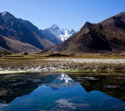
Meme Pokhari itself is a cluster rather than a single lake: Narsingh (also spelled Narsinga), Tarwal, and Dudh Pokhari sit nearby, fed by the same glaciers. Spring lights the lower forest with rhododendron blooms; above the treeline, it's open, exposed, and weather-dependent.
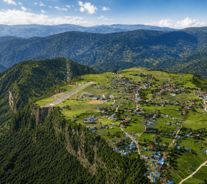
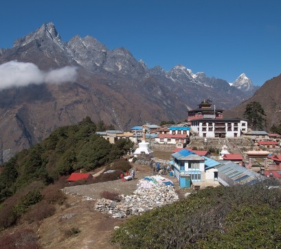
The villages along the way belong to Gurung, Ghale, Tamang, Magar, and Dalit communities, most concentrated around Khinchok. The lake is considered sacred by both Hindu and Buddhist communities in the region, drawing visitors during religious occasions such as Janai Purnima as a reminder this is a living pilgrimage site, not scenery. Traditional farming and mountain lifestyles are still the daily rhythm here, and homestay hosts in the lower villages are usually a trekker's main point of cultural contact.
Trekkers on the Annapurna and Lamjung network must hire a licensed guide and get a TIMS card through a registered agency (NPR 2,000 per foreign national, NPR 1,000 per SAARC national), plus an Annapurna Conservation Area Permit, or ACAP (NPR 3,000 foreign, NPR 1,000 SAARC). Both are arranged through your agency or at Tourist Service Centre counters in Kathmandu or Pokhara; bring your passport, visa details, and passport photos no separate restricted-area permit applies here.
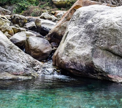
The area has also drawn interest for canyoning near Tobrosyo waterfall and rock climbing or paragliding around Ngawal Danda, though these remain informal activities to ask local operators about, not standardized excursions.
Getting there means a roughly 180-kilometre drive from Kathmandu to the Dordi hub, then 1.5 hours on foot to Khinchok, the last village with homestay accommodation. Above Khinchok there's no lodge infrastructure, so the stretch through Komro Danda and Meme Pokhari means carrying camping gear and food, before descending via Paulidanda and Khurukhark, past Tobrosyo waterfall, back to Khinchok.
Pack a tent, a high-altitude sleeping bag, and warm layers for nights above 3,000 metres, and treat the acclimatisation day as non-negotiable. With a licensed guide required, your trekking agency is also the easiest way to sort camping crew and gear for the unserviced upper stretch.

.jpg)
.jpg)