Here are seven facts you might not have known about the rivers of Nepal.
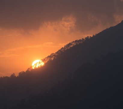
The Kali Gandaki, Koshi, and Arun rivers existed before the mountains around them. When India collided with Asia and the Himalaya began rising – roughly 50 million years ago – these rivers simply kept cutting downward at the same rate the land was pushing up. They are called antecedent rivers, and they won. The mountains rose around them like water rising around a fixed post. The Arun’s course may be 45 million years old – older than the peaks on either side of it.
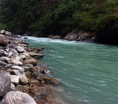
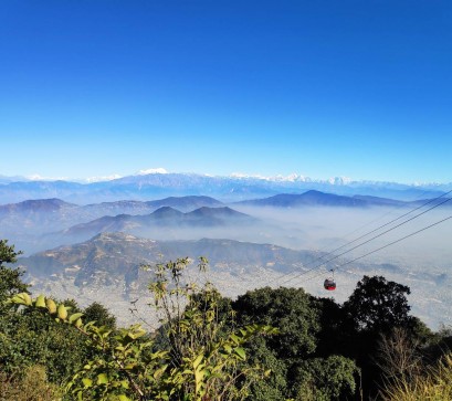
The Kali Gandaki gorge drops over 5,500 meters in a horizontal distance of barely 35 kilometers. The Grand Canyon, by comparison, reaches about 1,800 meters at its deepest. Most people who trek the Annapurna circuit walk the floor of what is, by some measurements, the deepest gorge on Earth – without realizing they are in a canyon at all, because the scale is too large to see as one.
The headwaters of the Ganga, Brahmaputra system tributaries, the Irrawaddy feeders, and multiple major Chinese river systems originate in or flow through Nepal. Yet because Nepal sits upstream of two enormously larger countries — India and China — it has limited international leverage over how its water is used, valued, or compensated. The rivers that sustain hundreds of millions of people downstream generate almost no formal economic return for the country where they begin. Water is Nepal's most abundant export. It is also its most undervalued one.
Shaligrams — the smooth, spiral-marked black stones held sacred by Vaishnavite Hindus as natural forms of Vishnu — are ammonite fossils found almost exclusively in the Mustang reach of the Kali Gandaki. They are the remains of marine cephalopods that lived in the Tethys Sea, the ancient ocean that occupied the space now filled by the Himalaya. To collect a Shaligram from the riverbed is to hold proof that where you are standing was once deep ocean floor. The Himalaya is not old by the standards of geological time. The sea it replaced was older still.
The theoretical hydroelectric potential of Nepal's rivers is approximately 83,000 megawatts — one of the highest per-capita figures in the world. Nepal currently generates a small fraction of this. The Upper Tamakoshi project, completed in 2021, was the largest in the country's history at 456 megawatts. To contextualise: 83,000 MW would power the entirety of Pakistan, with capacity to spare. Nepal imports electricity during peak winter demand from the same India that receives its rivers' water and sediment as a gift every monsoon.
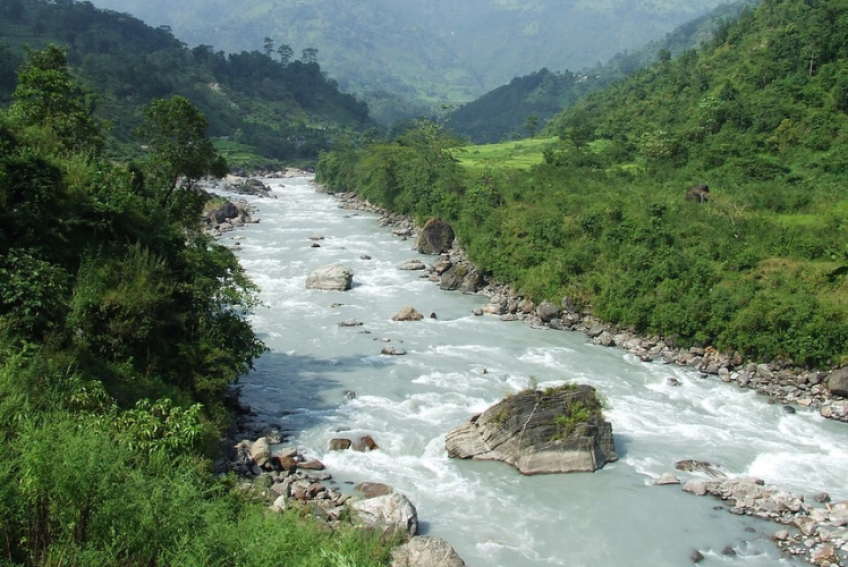
Because it carries so much eroded rock, the Koshi's riverbed rises above the surrounding floodplain over time — effectively becoming a river flowing on top of a ridge of its own making. When that ridge fails, the consequences are catastrophic. In 2008, the Koshi breached its embankment and shifted its course approximately 120 kilometres eastward within days, displacing hundreds of thousands of people in Nepal and Bihar. The river is not misbehaving when this happens. It is doing what it has always done — and the embankments are the anomaly, not the floods.
The Koshi is known in Bihar as "Sorrow of Bihar"; its floods shaped the name, not just the land.
The fertile plains of Bihar, Uttar Pradesh, and Bangladesh — some of the most densely farmed land on Earth — are made of pulverised Himalayan rock carried south by Nepal's rivers over tens of millions of years. The Terai itself, Nepal's own agricultural belt, is river-deposited material. The Indo-Gangetic Plain did not exist before these rivers began filling it.
Picture Credits: Wikimedia Commons
Also Read