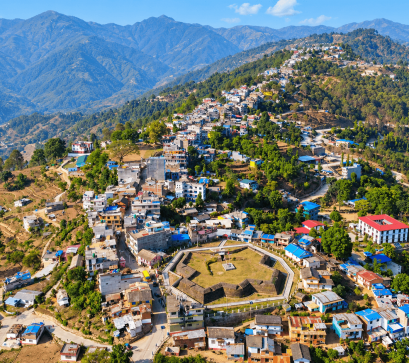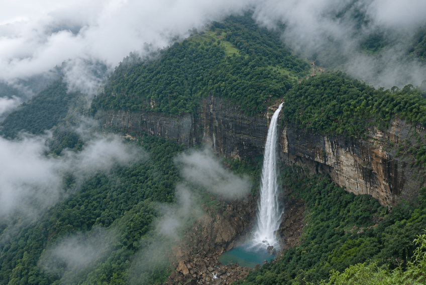
Most visitors to Nepal head for Everest or Annapurna. Few reach Kalikot, one of the country's most remote districts. Pachal Falls lies in Pachaljharna Rural Municipality, at about 970 metres above sea level. Locals once called it Bhutini Chahara, and the rural municipality was later named after it.
A GPS survey by a technical team from the then District Technical Office Kalikot recorded the height at 381 metres (1,250 feet), the officially recorded figure. That is 16 metres taller than Hyatung Falls in Tehrathum, previously seen as Nepal's tallest. Some local estimates place the falls as high as 481 metres (1,578 feet).
Kalikot covers 1,741 square kilometres and rises from 738 to 4,790 metres. The Karnali River runs through the district. Summer temperatures reach about 18°C and winter temperatures fall to about 5°C. Annual rainfall averages 730 millimetres. The forest covers more than half the district. The falls are fed by perennial springs and streams from Lekali.
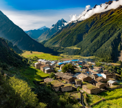
About 90 percent of residents farm, growing wheat, rice, maize, millet, ginger, chilli and potato. Orange, apple, lemon and walnut also grow well, and some families keep cows, buffalo, sheep and mules. Badimalika Temple, on the Kalikot–Bajura boundary, is dedicated to Goddess Bhagwati and draws worshippers at Malika Chaturdashi and Janai Purnima. Pili Bazaar, where many executions took place during the ten-year insurgency, has a war museum displaying weapons from both sides.
The falls are on the government's Top 100 Tourism Destinations list, but visitor numbers are lower than expected. Locals say poor roads are the main reason. The Karnali Corridor often gets blocked, and the uphill road beyond it is narrow and rough.
From Manma, the district headquarters, the drive is about 49 kilometres via Jitebagar toward the Karnali River and needs a 4x4. Visitors then cross suspension bridges, such as the Lafa bridge, and trek uphill through rocky stream beds and villages including Laphagaun to reach the base.
The best time to visit is late September to November, after the monsoon. Water volume is good, skies are clearer for photography, and roads are less prone to mud landslides. Tourism facilities are minimal. Plan on basic local homestays, carry your own camping gear in case they are unavailable, and expect slow, rough travel. The source material lists no permits or fees, so check locally before you go.