
 Source::AP
Severe weather sweeping parts of the U.S. brought frigid temperatures to the Pacific Northwest, heavy snow to mountains in Northern California and Nevada and unseasonable warmth to Texas and the Southeast.
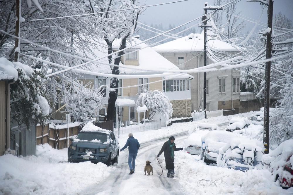
Emergency warming shelters were opened throughout Oregon and western Washington as temperatures plunged into the teens and forecasters said an arctic blast would last for several days. Sunday’s snow showers blew into the Pacific Northwest from the Gulf of Alaska, dumping up to 6 inches (15 centimeters) across the Seattle area.
The National Weather Service said Seattle’s low Sunday was 20 degrees F (-6.7 C), breaking a mark set in 1948. Bellingham was 9 degrees F (-12. 8C), three degrees colder than the previous record set in 1971.
State officials in Oregon have declared an emergency. In Multnomah County – home to Portland — about a half dozen weather shelters were open. Seattle city leaders also opened at least six severe weather shelters starting Saturday through at least Wednesday.
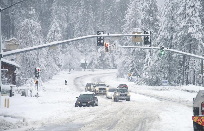
An apparent spin-out in the northbound I5 lanes near the Highway 101 interchange slowed traffic near Olympia, Wash. After significant snowfall on Sunday, South Sound residents woke up to sub-freezing temperatures and a glazing of ice on Monday. (Steve Bloom/The Olympian via AP)
In West Seattle, Keith Hughes of the American Legion Hall Post 160, said his warming center can welcome about a dozen people — its capacity limited by lack of volunteer staff.
“Volunteers, this is a problem for myself as well as everyone else in town, it’s really hard to get with COVID going on,” he said.
Winter weather led to cancelled flights in Seattle, Minneapolis, Salt Lake City and elsewhere.
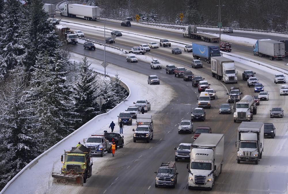
Meanwhile, blowing snow in the mountains of Northern California and Nevada closed key highways, with forecasters warning that travel in the Sierra Nevada could be difficult for several days.
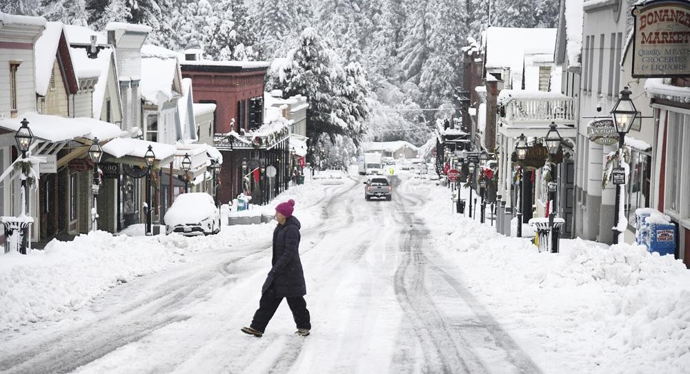
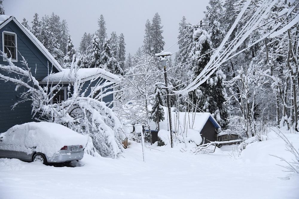
While snowfall was picturesque in places such as along Broad Street in Nevada City, Calif, it was dangerous for many others who were without electricity or stuck in the snow. (Elias Funez/The Union via AP)
At Donner Pass in the Sierra, officials with the University of California, Berkeley’s Central Sierra Snow Laboratory on Monday said recent snowfall has smashed the snowiest December record of 179 inches (4.6 meters), set in 1970. The record is now 193.7 inches (4.9 meters) as more snow is expected.
The Northstar California Resort in Truckee closed its mountain operations on Monday amid blizzard conditions. The ski resort has received more than 6 feet (1.8 meters) of snow over the last 48 hours, according to the resort’s Facebook post.
Search and rescue crews are looking for a missing skier who was last seen Saturday morning on a lift at the ski resort, KCRA reported.
The snowpack in the Sierra was at dangerously low levels after recent weeks of dry weather but the state Department of Water Resources reported on Monday that the snowpack was between 145% and 161% of normal across the range with more snow expected.
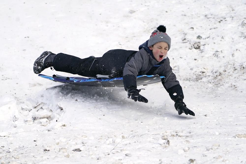
Titus Gonzalez goes airborne after hitting a bump while sledding where nearly a foot of snow fell over the weekend in a city park in Bellingham. (AP Photo/Elaine Thompson)
In Nevada, freezing air and blinding snow blasted across the northern part of the state on Monday, affecting travel and business, closing Sierra Nevada highway passes, delaying airport flights and shutting state offices.
Interstate 80 remained closed due to poor visibility and heavy snow from the Nevada state line to Placer County, California. An avalanche blocked a state route that connects Tahoe City to some ski resorts in Olympic Valley and authorities urged motorists to avoid nonessential travel.
Nevada Gov. Steve Sisolak ordered nonessential state workers other than public safety and corrections personnel to remain home due to the storm.
Weather and travel advisories stretched to northeast Nevada and Elko due to the possibility of blowing and drifting snow.
Spring Street in Nevada City, calif, was socked in with snow and downed tree limbs. (Elias Funez/The Union via AP)
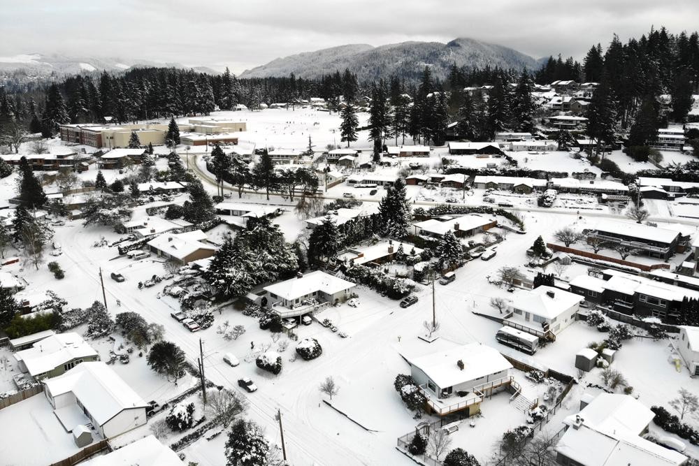
In this photo taken from a drone, snow covers streets, sidewalks and homes where nearly a foot of snow fell over the weekend in a neighborhood in Bellingham. (AP Photo/Elaine Thompson)
The storms that have been pummeling California and Nevada in recent days also brought rain and snow to Arizona. A record inch of rain in one day was reported at the airport in Phoenix Friday when 11 inches (28 centimeters) of snow fell at the Arizona Snowbowl ski resort just outside Flagstaff. Another 6 inches (15 centimeters) of snow were recorded in the 24 hours ending Monday morning.
More storms are expected to hit the desert state starting Monday afternoon and continuing throughout the week.
Temperatures were unseasonably warm in parts of the Southern Plains, including in Arkansas, where several cities broke records on Christmas Day for daily high temperatures.

Gus Anthony, 3, and his father, Fritz Anthony, raise their arms as they sled downhill while sister Enna Anthony, 6, follows on a tethered saucer, in a city park in Bellingham. (AP Photo/Elaine Thompson)
But forecasters warned that severe storms were possible midweek when a storm system moves through the Deep South, with Alabama and Mississippi at greatest risk for bad weather, according to the Storm Prediction Center in Norman, Oklahoma.
Heavy snow will start winding down by Monday evening in California’s Sierra Nevada and the area is expected to get a break from the cold snap by Thursday, said Emily Heller, a meteorologist with the National Weather Service.
Temperatures in western Washington and Oregon aren’t forecast to rise above freezing until at least Thursday, and possibly not until the weekend, forecasters said.
Read more:
Snowfall In Khaptad Luring Domestic Tourists
