KUSHUM KHAREL
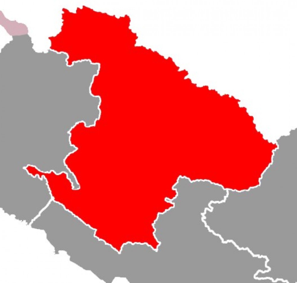
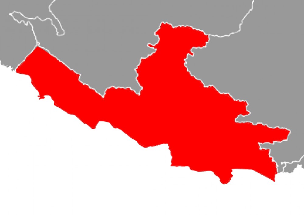
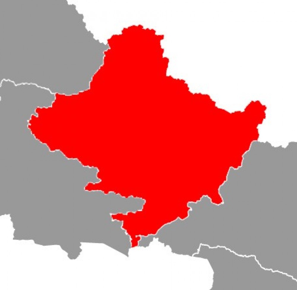
Among the total area of Nepal i.e. 1,47,181 sq. Km., this state covers the 20,300 sq. Km. It is bordered by Province 1 to the east, Gandaki Province to the west, China to the north and Province 2 to the south, and India. Province No. 3, as mentioned in the Local Government Operation Act, 2074, consists of five himalayan districts (Dhading, Rasuwa, Ramechhap, Sindhupalchok and Dolakha), two hilly districts (Nuwakot and Kavrepalanchok), three districts of the valley (Kathmandu, Lalitpur and Bhaktapur) and three districts of the inner Madhes (Sindhuli, Makwanpur and Chitwan). According to the Survey Department, the province is spread from 260 55 'North latitude to 280 23' North Latitude and from 830 55 'East longitude to 860 34' East longitude. According to the 2011 census of Nepal, the total population of this state is 5,529,452.
There are 119 local levels in 13 districts of the state including 3 metropolitan cities, 1 sub-metropolitan city, 41 municipalities and 74 village municipalities. Kathmandu, Lalitpur and Bharatpur are the three metropolises within the state while Hetauda is the only sub-metropolis. The governor of this state is Bishnu Prasad Prasain and chief minister is Dormani Paudel.
According to the terrestrial diversity of the country, the climate here is also diverse. It extends from Golaghat in Chitwan at an altitude of 141 m above sea level to Langtang Himal in Rasuwa at an altitude of 7,229m above the sea level which makes himalayan districts cold, terai districts hot and hilly districts mixture of both cold and hot. Rainfall takes place mainly during the summer.
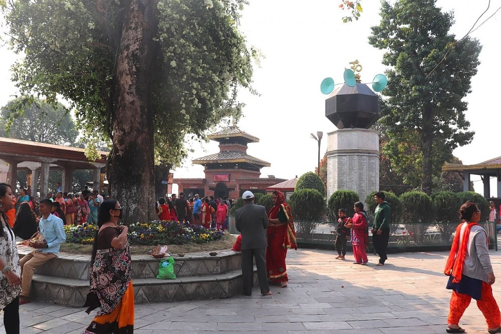
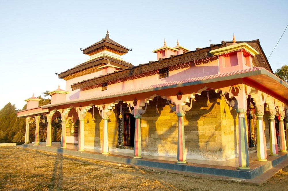
Province 2 is very famous for religious sites of Hindus which carry strong faith among both indigenous as well as foreing pilgrims. The arrival of thousands of devotees and pilgrims every year has helped in development in religious tourism of this state. Some of the major religious sites of this state are - Aradhya Deva Pashupatinath (Kathmandu), Budhanilkantha (Kathmandu), Swayambhunath (Kathmandu), Changu Narayan (Bhaktapur), Gosaikunda (Rasuwa), Kalinchok Bhagwati (Dolakha), Bhimeshwar (Dolakha) and so on.
Makwanpur fort: Makwanpur Gadhi is believed to be built by Luwang Sen in 1622 which lies Historically, archeologically and strategically important, Makwanpur fort is a place of historical and tourist importance in the district.
Sindhuligadhi: Located at an altitude of 4,648 feet, 150 km southeast of Kathmandu, this area is considered to be historically important from the point of view of security. Sindhuli Gadhi is a living document of the Nepal -British war. The dilapidated ditches, fortifications, and forts built in the area now look amazing. While walking around this area, one can feel the vibes of ancient Nepali warriors of that time .
Rasuwagadhi: It lies on the Nepal-China border which is considered to be an important security fort between Nepal and China. This fort, which connects the trade relations between Nepal and China, was built in 1912 BS.
It is a province with the huge importance of lakes, ponds and wetland. This state included the lakes like Bish Hazari Taal, Gosaikunda, Chho Rolpa Glacier, Jat Pokhari, Panch Pokhari, Bahulah Pokhari and so on.
The two mountain ranges in the state, Langtang and Gaurishankar, are important from the point of view of tourism. Among the total 414 peaks located above 5000m altitude, this state consists of 61 peaks of them. The highest peaks in the state are Langtang Lirung at 7,227 meters, Langtang at 7205 meters and Gaurishankar at 7135 meters.
The state has 10 sub-basins and 33 main rivers. The longest of these is the Sunkoshi River with a length of 160.19 km. The shortest river is Lalbakaiya with a length of 1.89 km.
Ethnically, the state has mainly Tamang (20.42 percent), hilly Brahmins (18.28 percent), Chhetri (17.28 percent) and Newar (16.92 percent) communities and the presence of 104 castes (including others) are less than 1 percent.
The forest covers 53.7 per cent (1090085 ha) and shrubs covers 7.57 percent (153759 ha) of the total land area of the state. So, here 59.27 per cent (1243844 ha) of the land are occupied by forest area, 24.34 per cent (494084 ha) of land is used for cultivation and the remaining portion of 307 hectares (0.02 percent) are covered by lakes and ponds.