Located at the Far North-West part of Nepal, Simikot is a hidden gem that has not yet been discovered. Simikot is the administrative headquarter of the Humla District. Simikot is at an elevation of 2,910m above the sea level. The district covers an area of 5,644 square kilometers which makes it one of the biggest districts of the country.

According to the 2011 census, the district is home for 50,858 people. The Northern area of Humla is inhabited by Khas people, originating from Sinjar Valley, whereas the northern border to Tibet is mostly inhabited by Tibetans. People of this region speak Nepali and Tamang mostly as their first language. Chhetris is the largest group of people living here followed by Gurung, Magar, Sherpa, Dolpali, Bhote and Thakuri.
Close up view of Mount Api and Saipal.

About to be extinct Wild Yaks.
Experience the authentic Tibetan culture with the local heartwarming peoples.
The trekking route to Tibet starts from Simikot.

The Endpoint of Nepal’s; ‘The Great Himalayan Trail’
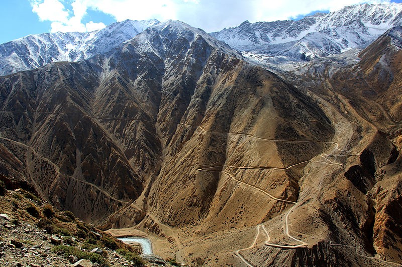
Limi Valley; Incredible red rockscapes and medieval stone villages.

Explore the nearby villages like Buraunse, Torpa, Sarkegad, Limatang.
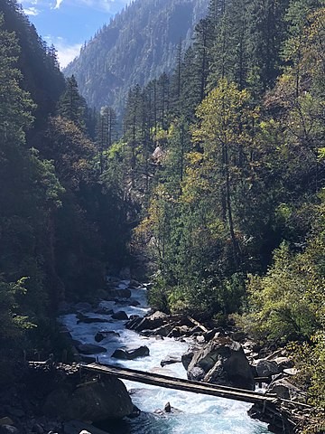
Rafting in Karnali.

Nyalu Pass.
Explore the wildlife, unique terrain and jungle of Humla.
Tshom Tsho Lake.

Nyinba Valley.
Hilsa; Gateway to Tibet's sacred Mount Kailash.

Community Homestay; Experience the warm hospitality of the Limi village.
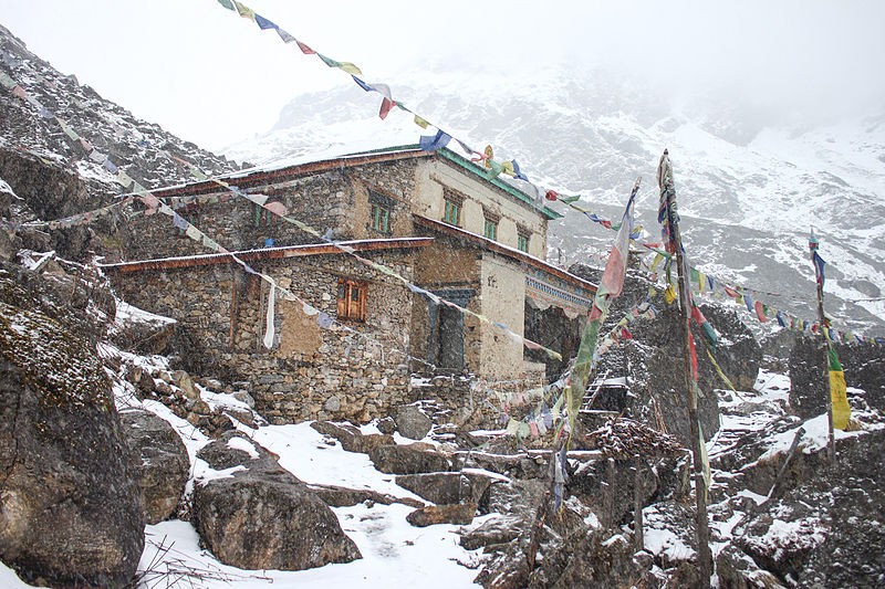
Raling Gompa.

Chyakpalung.
Lake Lamgyok.
Nau Chare Jharana.

Humla has a domestic airport at Simikot, which is the only way to get in and out from here without much difficulty. It connects with Surkhet, Nepalgunj, and Kathmandu, the main cities of the country by air. Air distance between Nepalgunj and Simikot is 218 km. The Airport can only give services to small aircraft such as twin otters and helicopters due to its short runway. Air service depends on the weather of Humla and Nepalgunj, therefore, connections are neither regular nor reliable. The terrain of this region makes it difficult to travel by road. The hard bumpy roads are also not safe.
ALSO READ: